Environmental Management

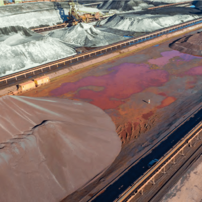
The application of drones for environmental management and monitoring has increased rapidly in recent years, with Skeye at the cutting edge of research. Drones can be used for a range of environmental monitoring practises, examples include:

  • Coastal surveys,
  • Habitat monitoring,
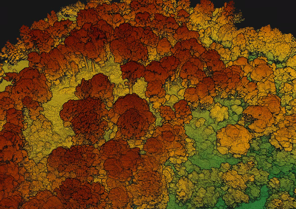
  • Vegetation mapping (NDVI),
  • Flood monitoring and/or mapping,
  • Animal counting and/or monitoring,
  • Cliff stability and monitoring,
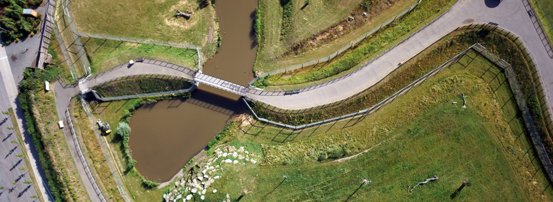
  • Inspection of coastal sea defences.

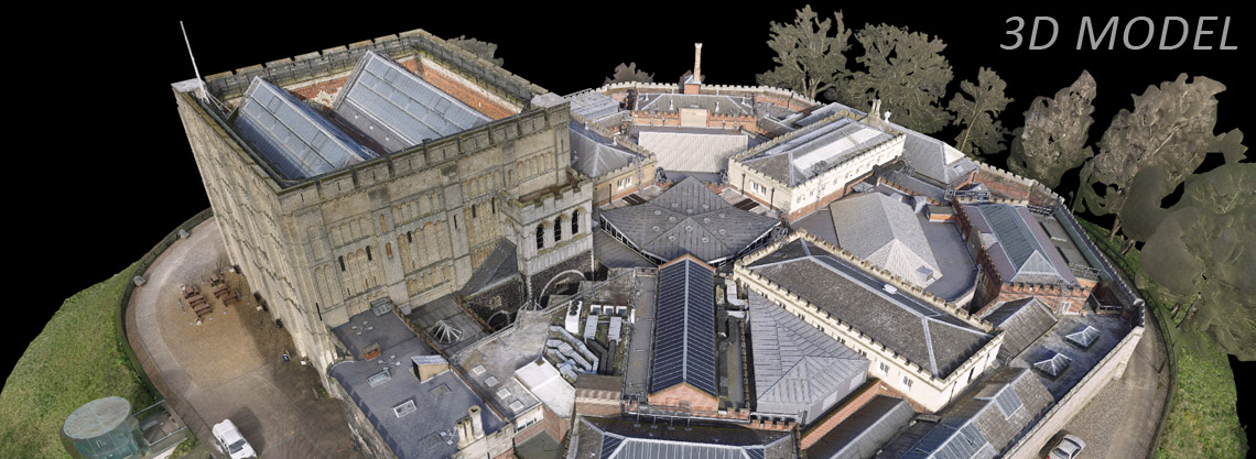
Skeye can provide a range of services relating to environmental monitoring or management. Services include, survey grade topographic mapping, aerial photography and videography and long term monitoring solutions.

Seal Pup Counts

Drones are a fantastic tool for inspecting or monitoring species populations in remote areas.  An application involves the counting of seal pups on remote islands. The seal pup counts are essential to monitoring the health of colonies and to aid the understanding of their behaviour. Typically, such counts are conducted manually, which can be dangerous for rangers and disturb wildlife within their habitats. With small drones, often operated from boats, the disturbance to wildlife is kept to a minimum, and counts can be conducted far quicker than traditional surveys.

Vegetation Mapping

Drones have the capability to apply many different types of sensors and therefore the applications are ever growing. Using Near-Infrared Cameras (NIR), it is possible to map and monitor vegetation. Using a combination of NIR and RGB imagery Skeye are able to create NDVI maps (Normalised Difference Vegetation Index).

NDVI quantifies vegetation by measuring the difference between near-infrared and visible light reflected by vegetation. Healthy vegetation absorbs most of the visible light that hits it, and reflects near-infrared light, whilst areas of unhealthy or sparse vegetation will reflect more visible light and less near-infrared light.

Using this index can reveal where vegetation may be under stress, or particular areas where vegetation is thriving. NDVI values range from -1 through to 1.  Negative values typically correspond to regions of rock or snow. Soil often has values of between 0.1 and 0.2, whilst dense vegetation reflects values of between 0.3 and 0.8.

The example below highlights the difference of vegetation health over the span of one year.

Beach Surveys for Cable Landings

Skeye have worked on several projects that require photogrammetric surveys along beaches for the potential planning of cable landings. Cable landings run from offshore windfarms towards the coast, where they are then connected to the main grid. Skeye can provide highly accurate DSMs and DTMs in the low tide areas, to provide essential information for such landings. An example of a DSM obtained from one of these surveys can be viewed in the image below.

Related posts

Photogrammetric Surveys

Read more

LiDAR

Read more

3D Visualisation

Read more