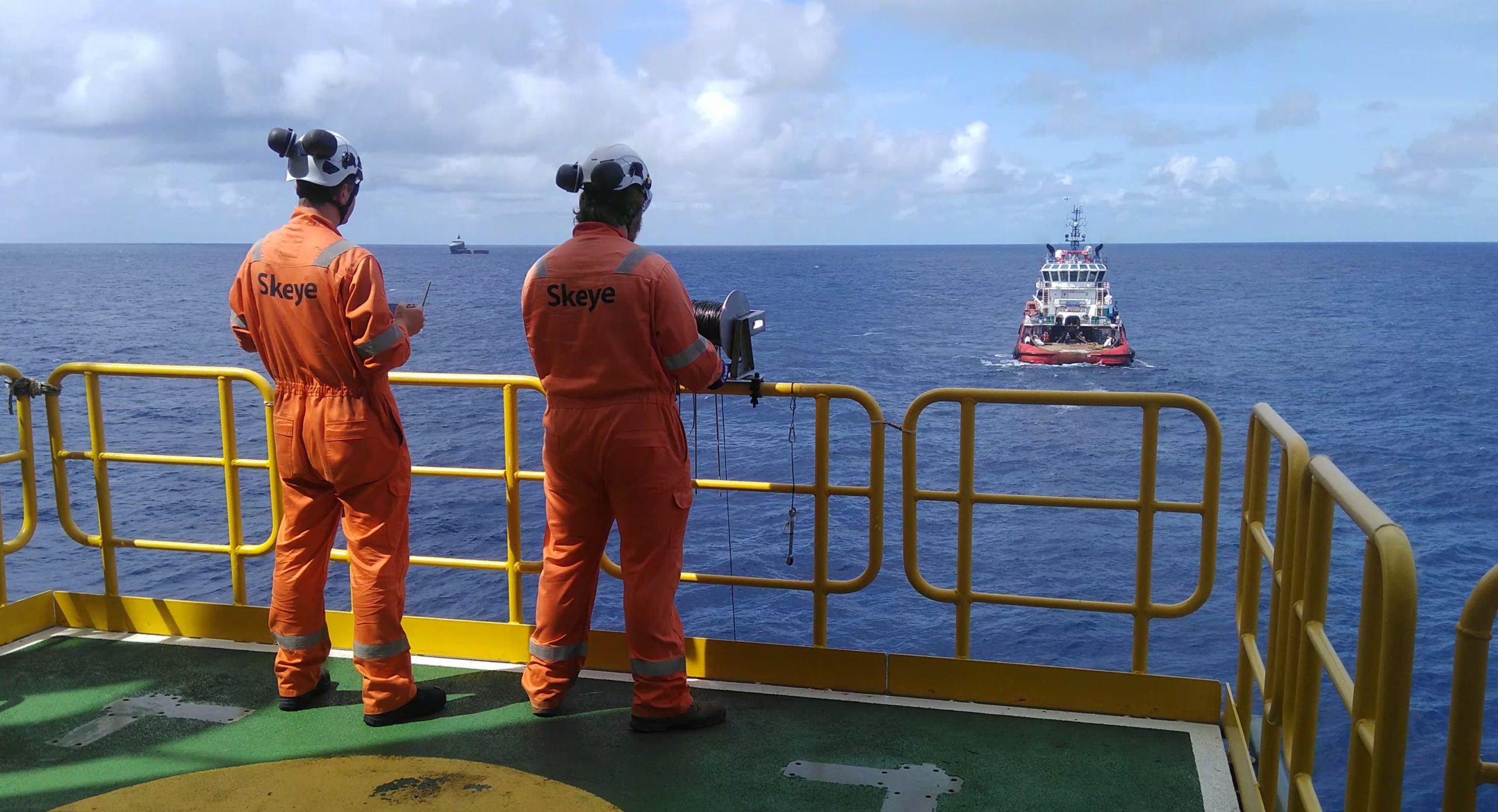
N-Sea requested Skeye to carry out an aerial topographic survey of seven cable landings in Northern Ireland and Scotland. The purpose of the survey was to create high-resolution 3D Digital Terrain Models (DTM) and orthophoto mosaics of the land area of the cable landing.
The cable landings were first surveyed from the water by our sister company Deep using multi-beam echo sounders as close in to the beach as possible at high tide. Skeye performed the aerial surveys at low tide so as to achieve the maximum possible overlap.
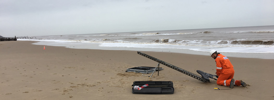
Due to the restriction of only being able to survey at low tide no more than one landfall could be surveyed in a single day. Prior to low water ground control markers were installed and surveyed using RTK GPS equipment. The aerial photography flights were conducted using the Trimble UX5-HP UAV or drone. This UAV is equipped with a L1 and L2 GNSS receiver and through Post Processing Kinematic processing fewer ground control points are needed. This feature is very handy when having to survey at low tide since only a very small time window is available in which both the aerial survey has to be executed, the ground control points placed and some verification points have to be measured.