
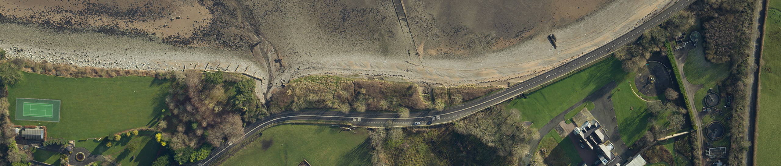
With Topographic Survey we provide customers with accurate and detailed geographic data of project areas. Providing a clear overview of site conditions for planning, engineering and construction project
We use LiDAR and photogrammetry to survey large areas and locations that are difficult to access. We use aerial data with ground measurements to ensure the required accuracy.
Our data processing team turns the collected data into detailed survey products. Depending on the scope, these include:
- High-resolution orthomosaics
- 3D point clouds and models
- Digital Terrain Models (DTM)
- Digital Surface Models (DSM)
- Volume and earthwork calculations
We carry out coastal surveys, vegetation mapping and flood mapping depending on projects requirements.
All survey data is processed and delivered in GIS, CAD and any other software. This allows engineering and construction teams to use the information directly for project monitoring. By repeating surveys over time, we help customers track changes and compare current site conditions with previous measurements.